Lookout Pass
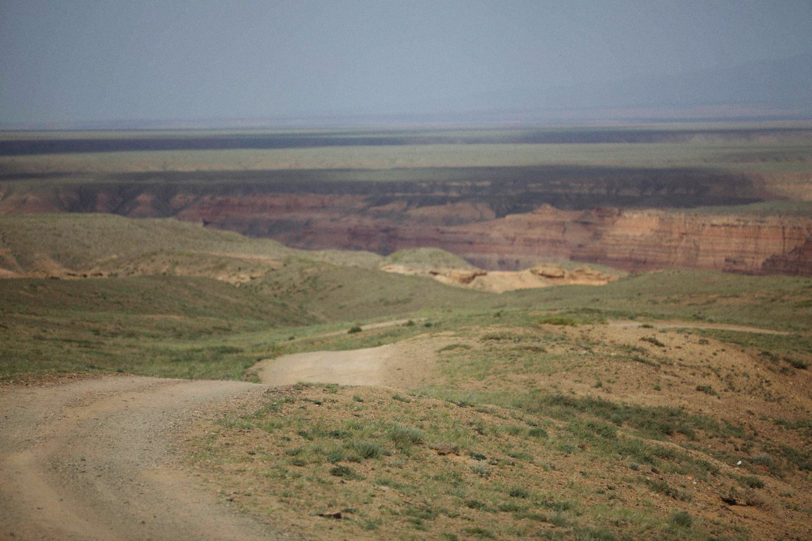
The climb out of Rush Valley and the first real gap in the mountains heading west.
Subject
Most nineteenth century American routes are under a highway now. A few crossed ground so unwanted that the road still follows the original line.
Twelve station sites from Lookout Pass to Deep Creek, covered in westbound order. This is the fullest thing on the site.
The climb out of Rush Valley and the first real gap in the mountains heading west.
The descent into Skull Valley, and the beginning of country that people have been leaving for a century.
The most reliable water for fifty miles in any direction, and the best preserved station on the whole Utah stretch.
A dry channel cut by a river that stopped flowing when the last ice age ended.
A steep cut through the Dugway range, and a station named for the volcanic rock beside it.
Ten thousand acres of spring-fed marsh in the middle of a salt desert, and the strangest thing on the route.
The leg where the desert gives way to the first grass, and one of the few stations with standing walls.
The station that became a town, and one of the last inhabited places on the route.
Where the trail leaves the flat and goes into the mountains, through the canyon that gave everyone trouble.
The original Canyon Station site, in a place chosen for shelter and later regretted for it.
In July 1863 the station was attacked and burned, and the men there were killed.
The last Utah station before Nevada, under the highest mountains in the western desert.
The Santa Fe Trail, the California Trail and the Overland route all cross ground covered elsewhere on this site, and all three deserve the same station by station treatment. They are not here yet.
Rather than publishing a thin page per trail now, they will appear when the research is done. The states page tracks what is covered and what is queued.