Pony Express trail · Background
One hundred and fifty years on
Why the route survived when almost every other nineteenth century trail was built over.
Position Utah west desert · approximate, no coordinate on record
Most historic American trails are now under a highway, a farm or a suburb. The Utah section of the Pony Express is not, and the reason is unromantic: nobody wanted the land.
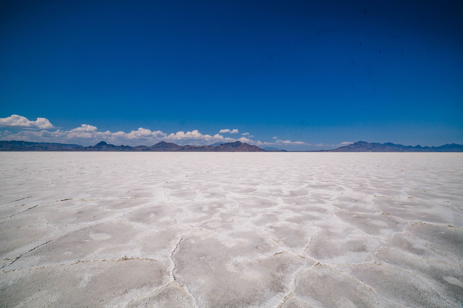
The Great Salt Lake Desert has no water worth the name, no timber and soil that will grow very little. Every settlement attempt on this ground either failed or stayed tiny. The consequence is that the road follows close to the original alignment for most of its length, and station sites were never ploughed under.
The Bureau of Land Management now manages the route as a backcountry byway, with markers at the station sites and interpretive panels at a handful of them. It is one of the few places where you can drive a nineteenth century mail route more or less where it ran.
That access is fragile in a practical sense rather than a legal one. The road is unpaved for most of the crossing and conditions change fast after weather. The trail is open; getting along it is a different question.
This is remote, unpaved country with no fuel, no water and thin phone coverage for a hundred miles. Carry more water than you think you need, tell somebody your route, and do not attempt the crossing in a low car after rain. The BLM manages most of the road; call the Salt Lake Field Office for current conditions rather than trusting any page, including this one.